1
/
of
2
Photo Enrichments
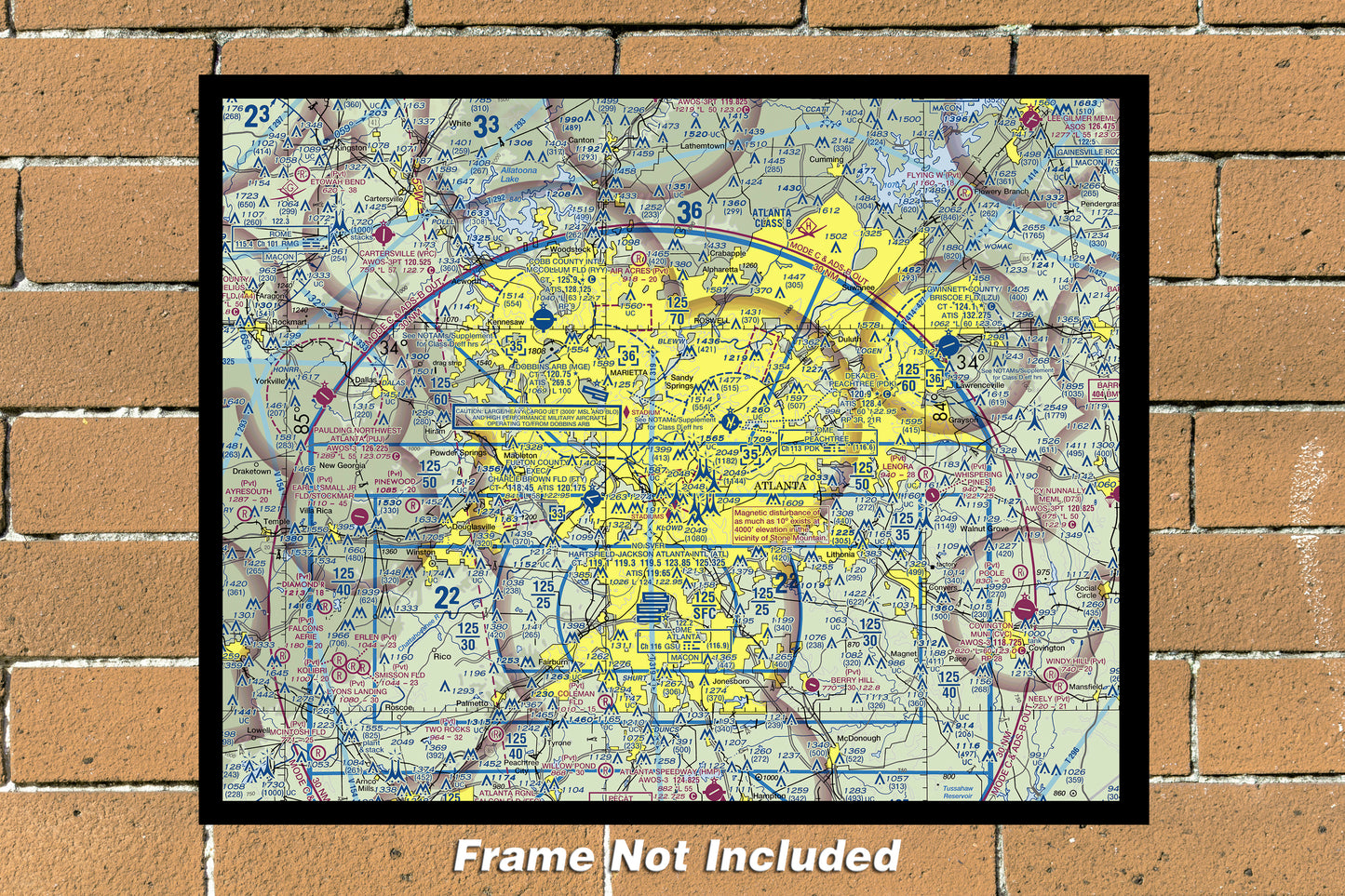
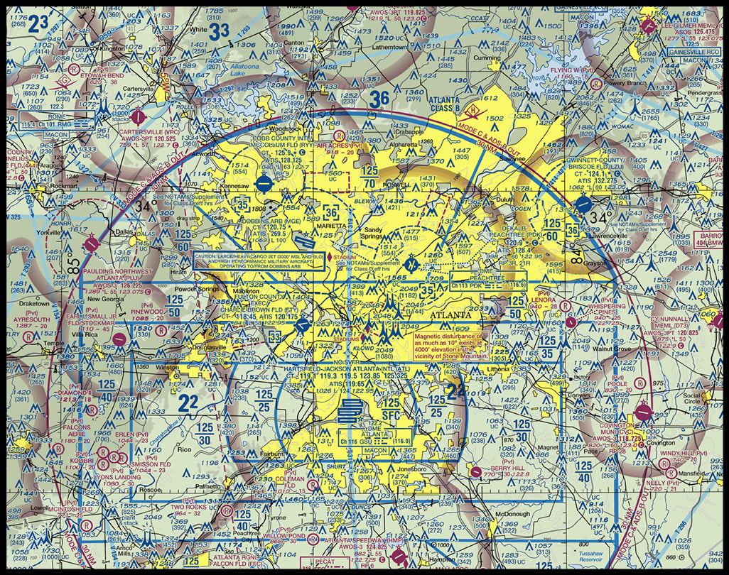
ATL VRF Diagram Map (not for navigational purposes) Color Photograph (ATLVFR11X14)
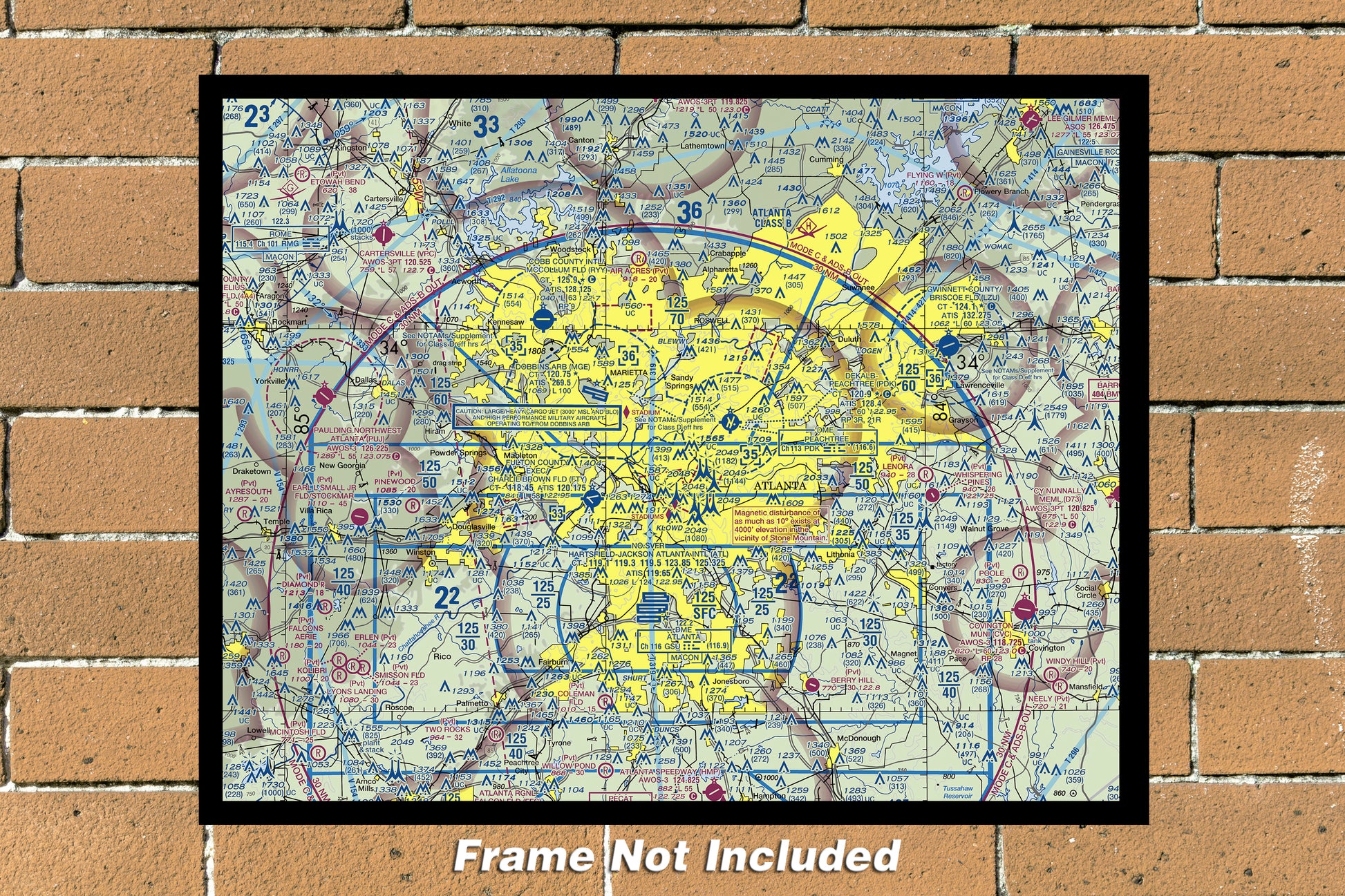
ATL VRF Diagram Map (not for navigational purposes) Color Photograph (ATLVFR11X14)
Regular price
$29.99 USD
Regular price
Sale price
$29.99 USD
Shipping calculated at checkout.
Quantity
Couldn't load pickup availability
ATL-Atlanta VFR Diagram Map (Not for navigational purposes), 11" x 14" Color Photograph (ATLVFR11X14)
This 11" x 14" color photograph depicts the ATL VRF Diagram Map (not for navigational purposes), showcasing the intricate details of the aviation system. The photograph is a high-quality representation of the United States' transportation infrastructure, ideal for collectors and aviation enthusiasts alike. The photograph's attributes include its type as photographs, the country/region of manufacture as the United States, and its inclusion in the Airports, Aviation, Transportation, and Collectibles categories.
Share


